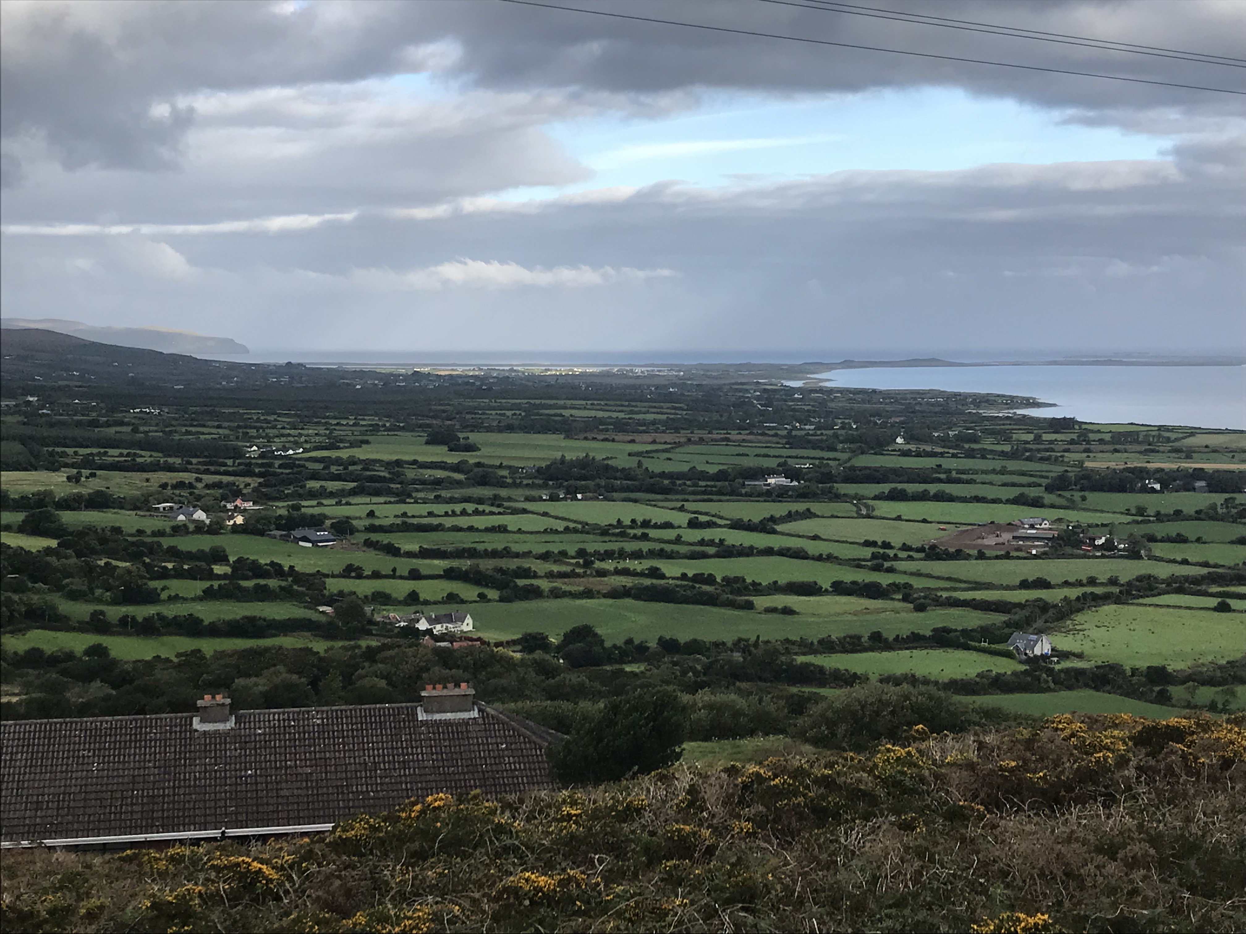
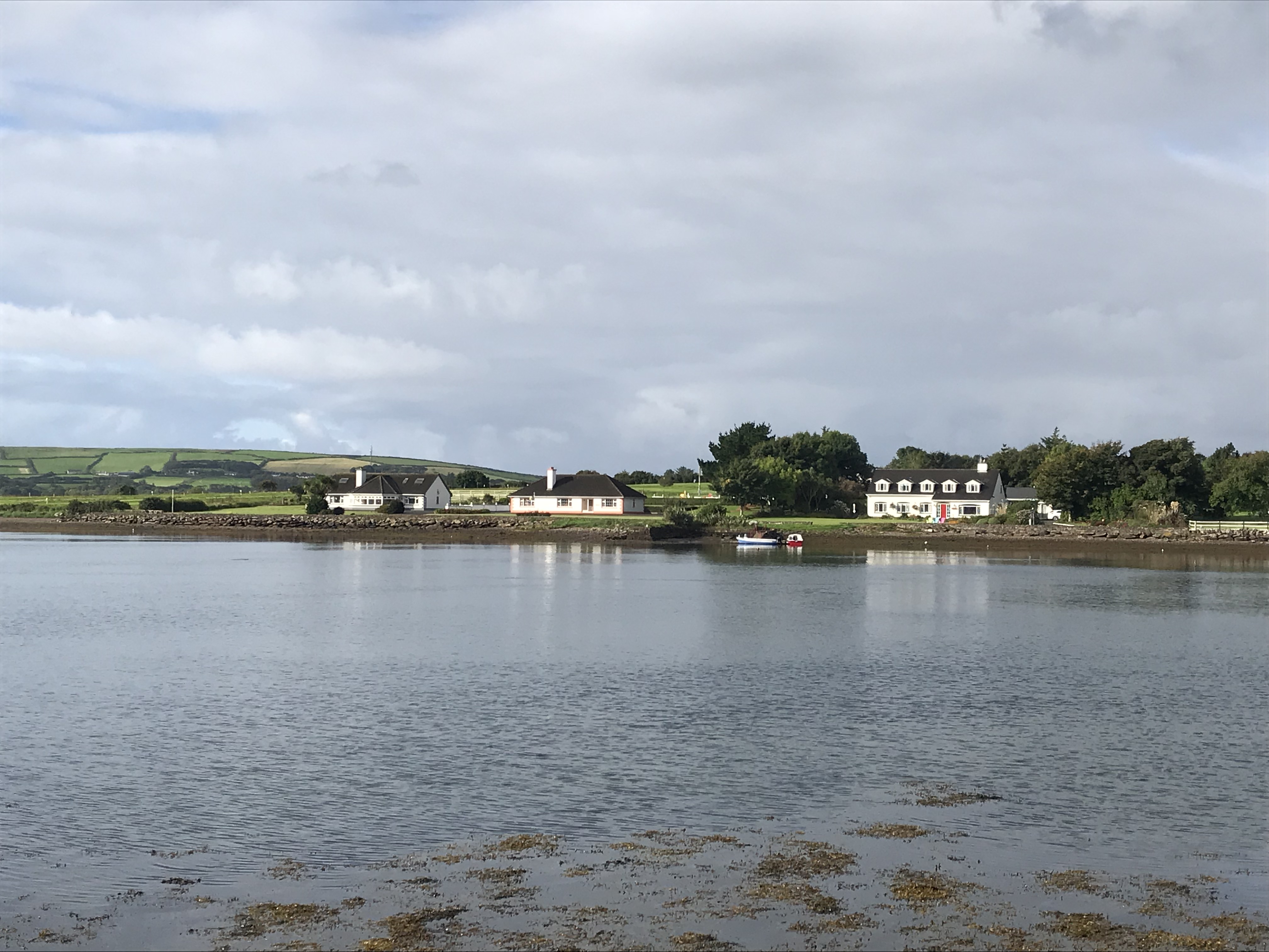
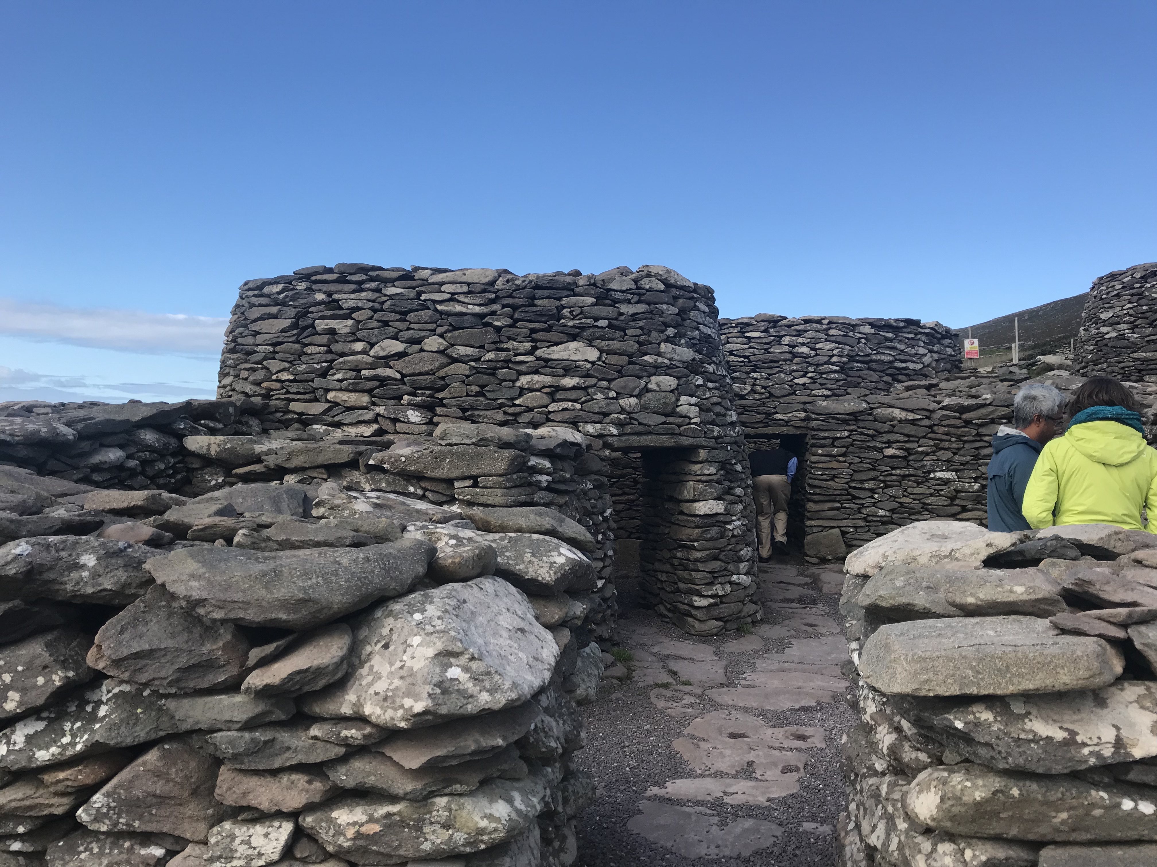
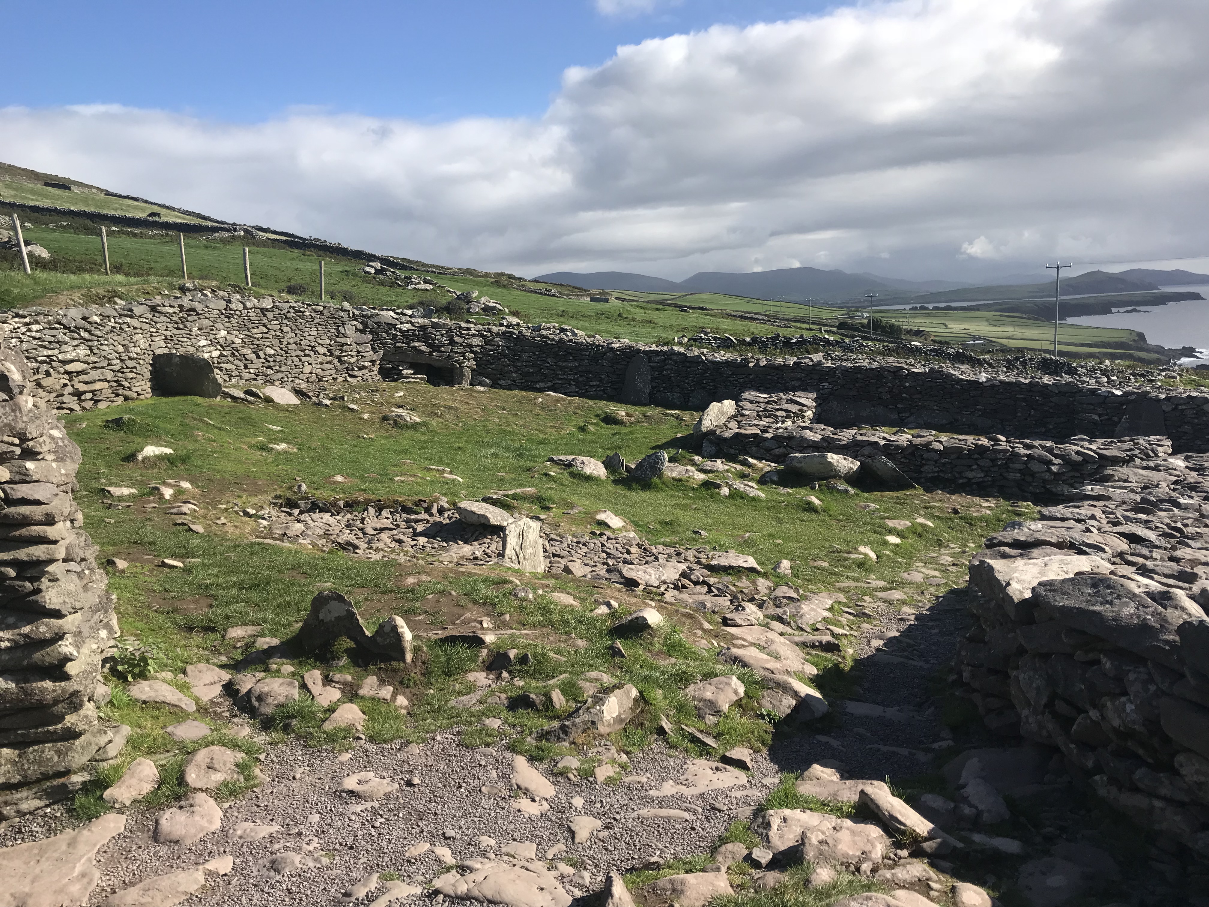
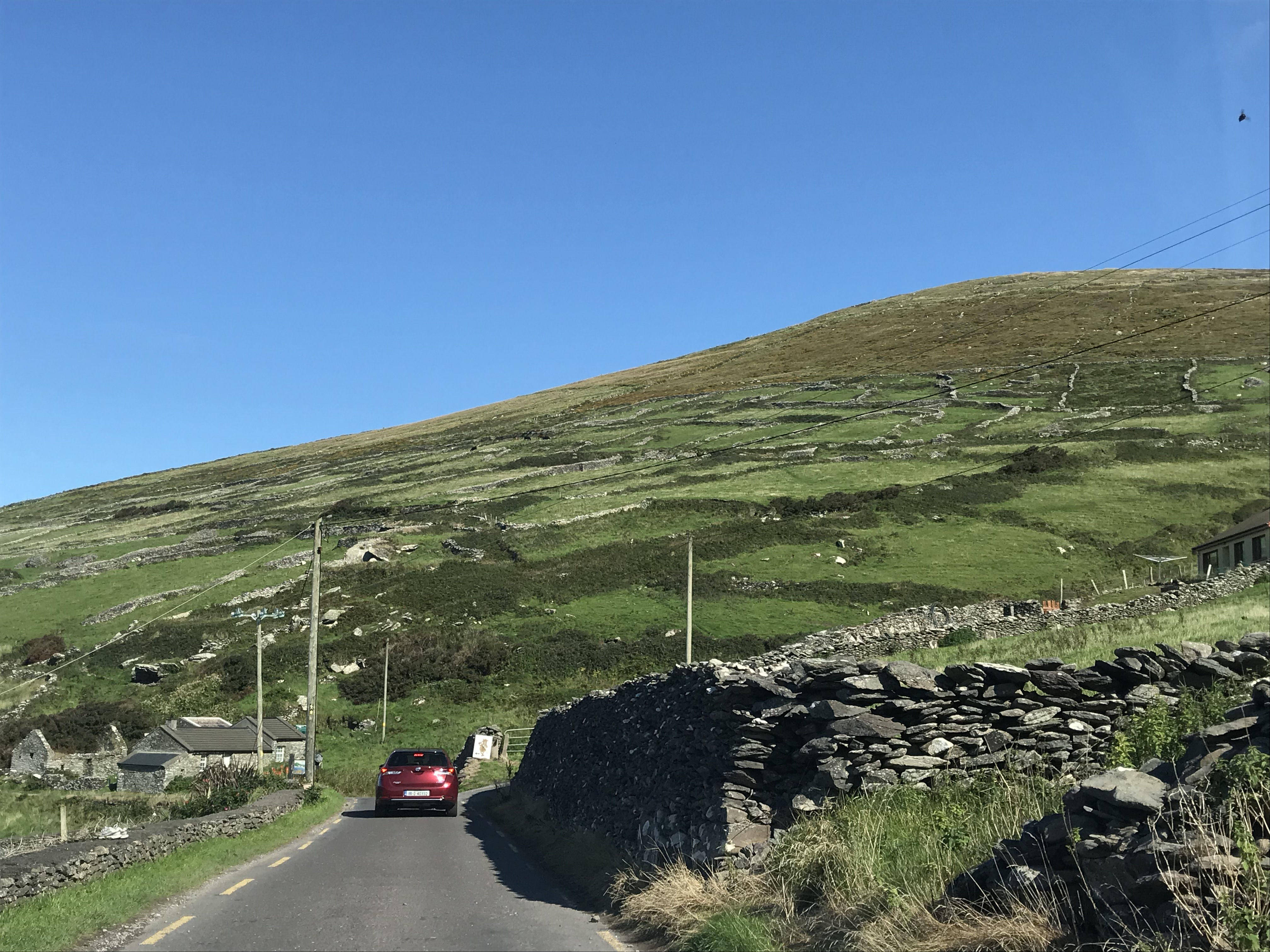
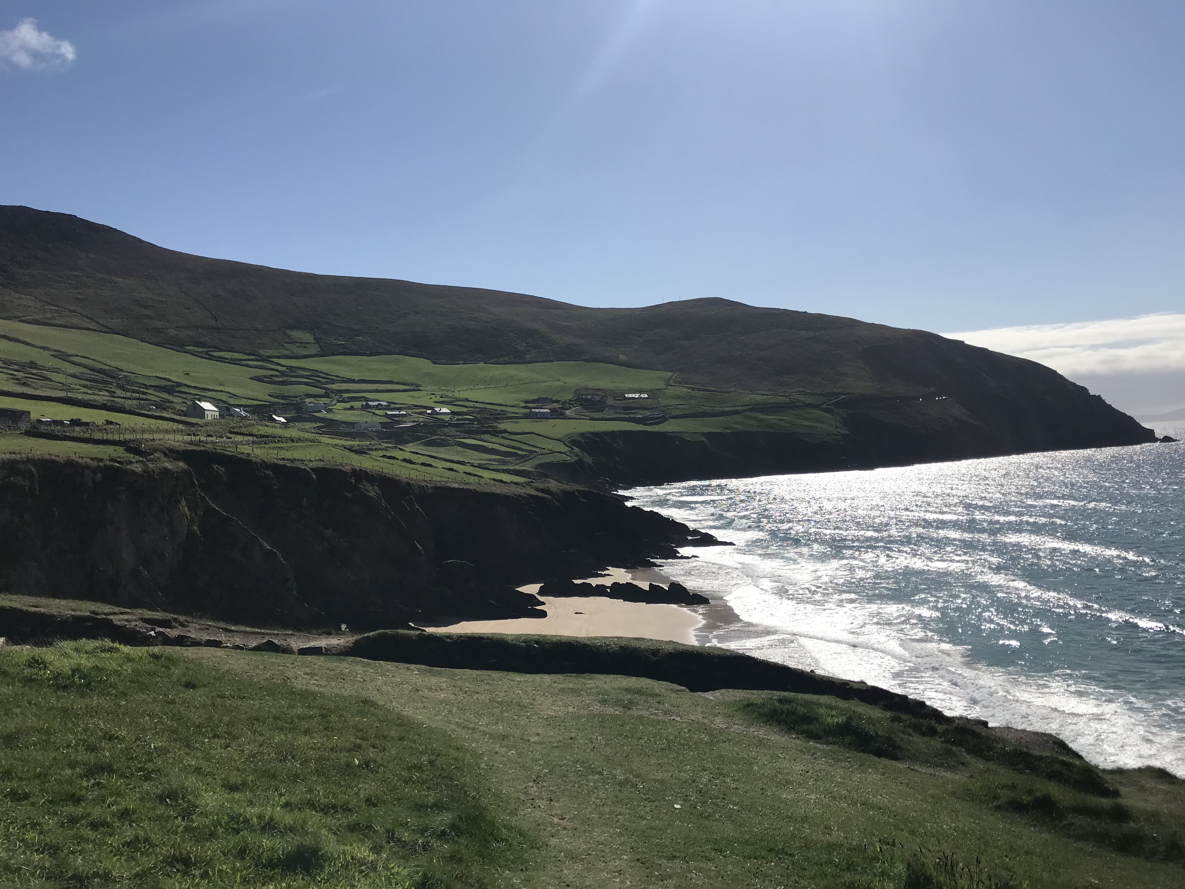
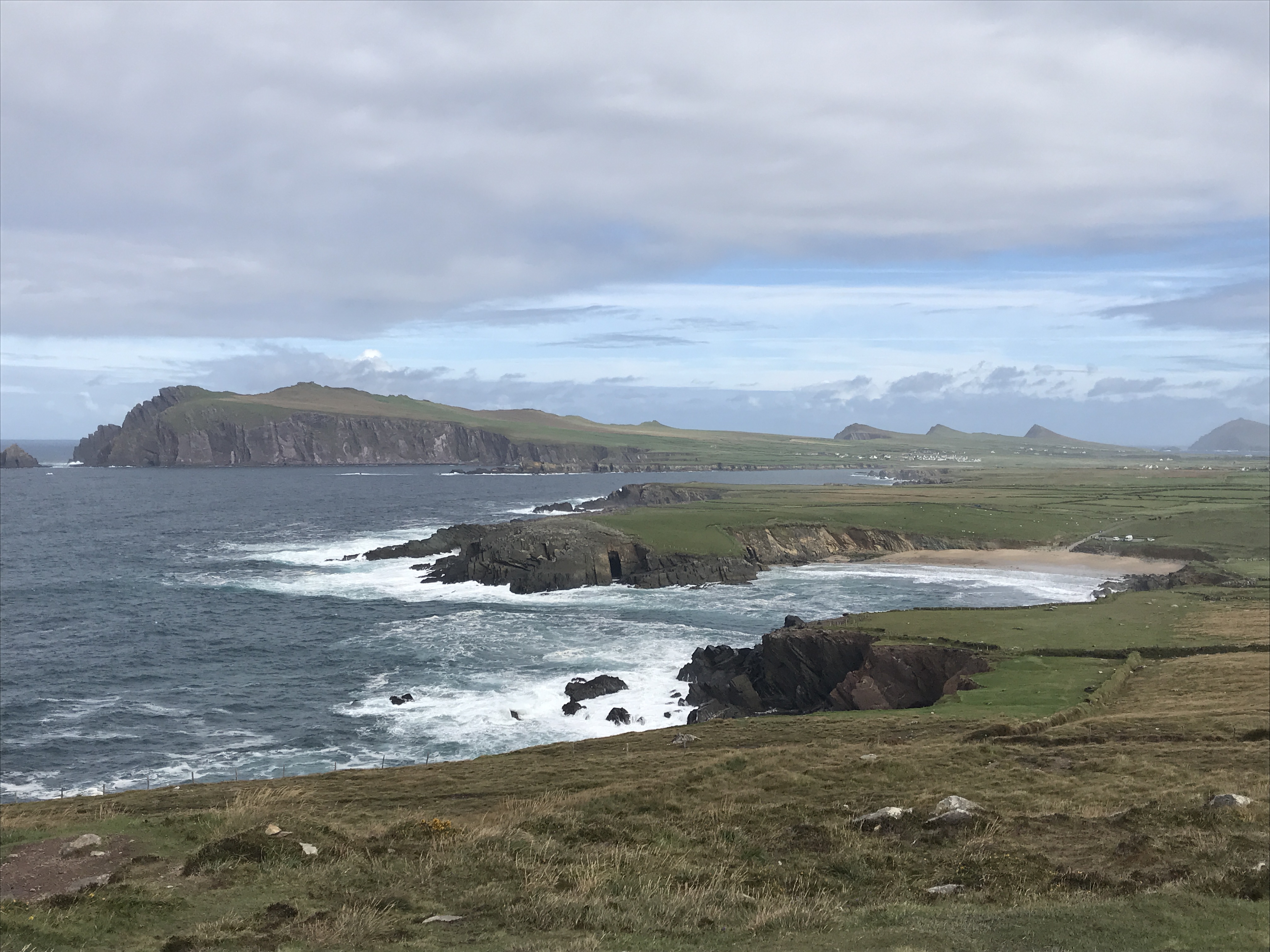
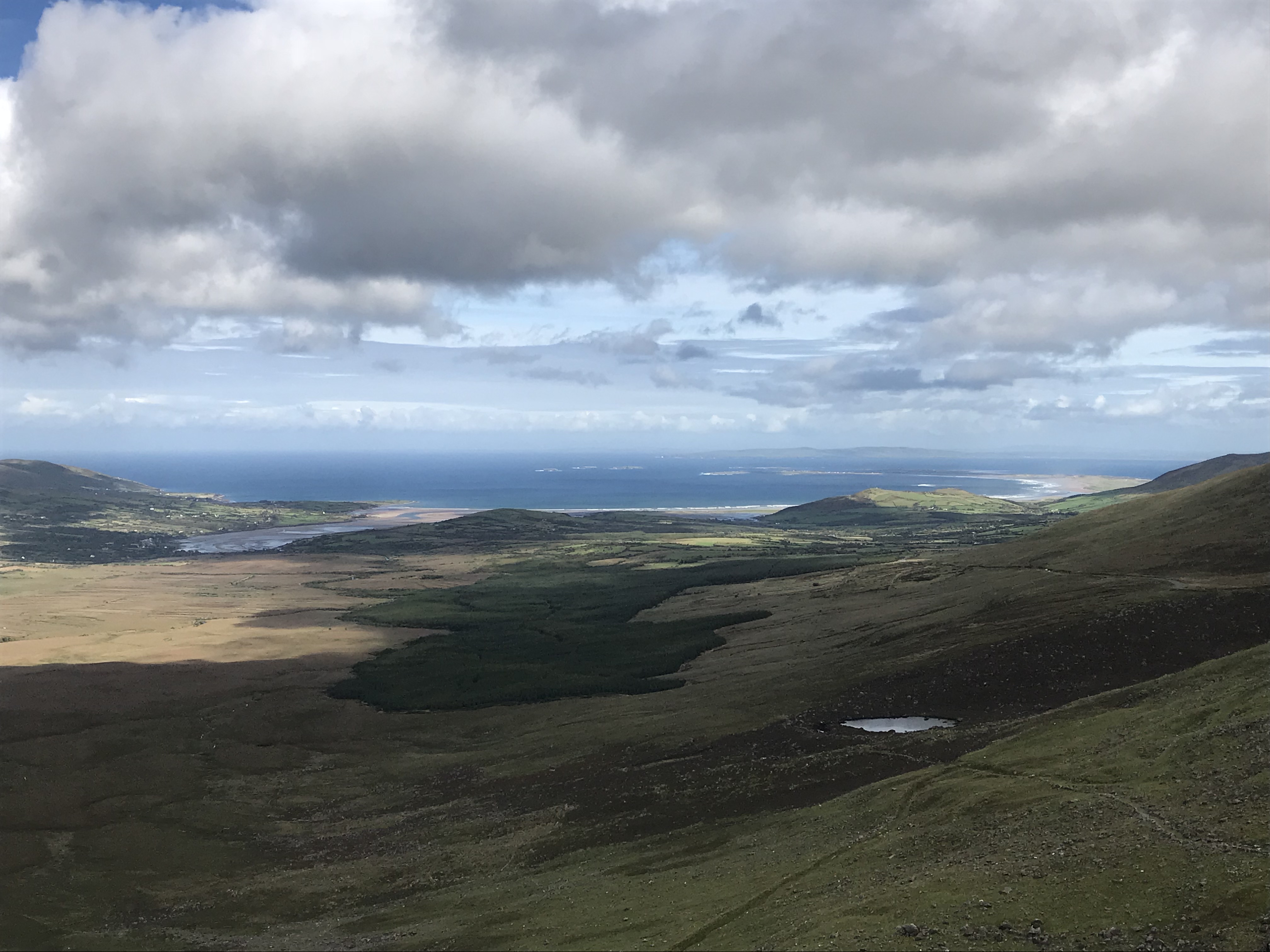
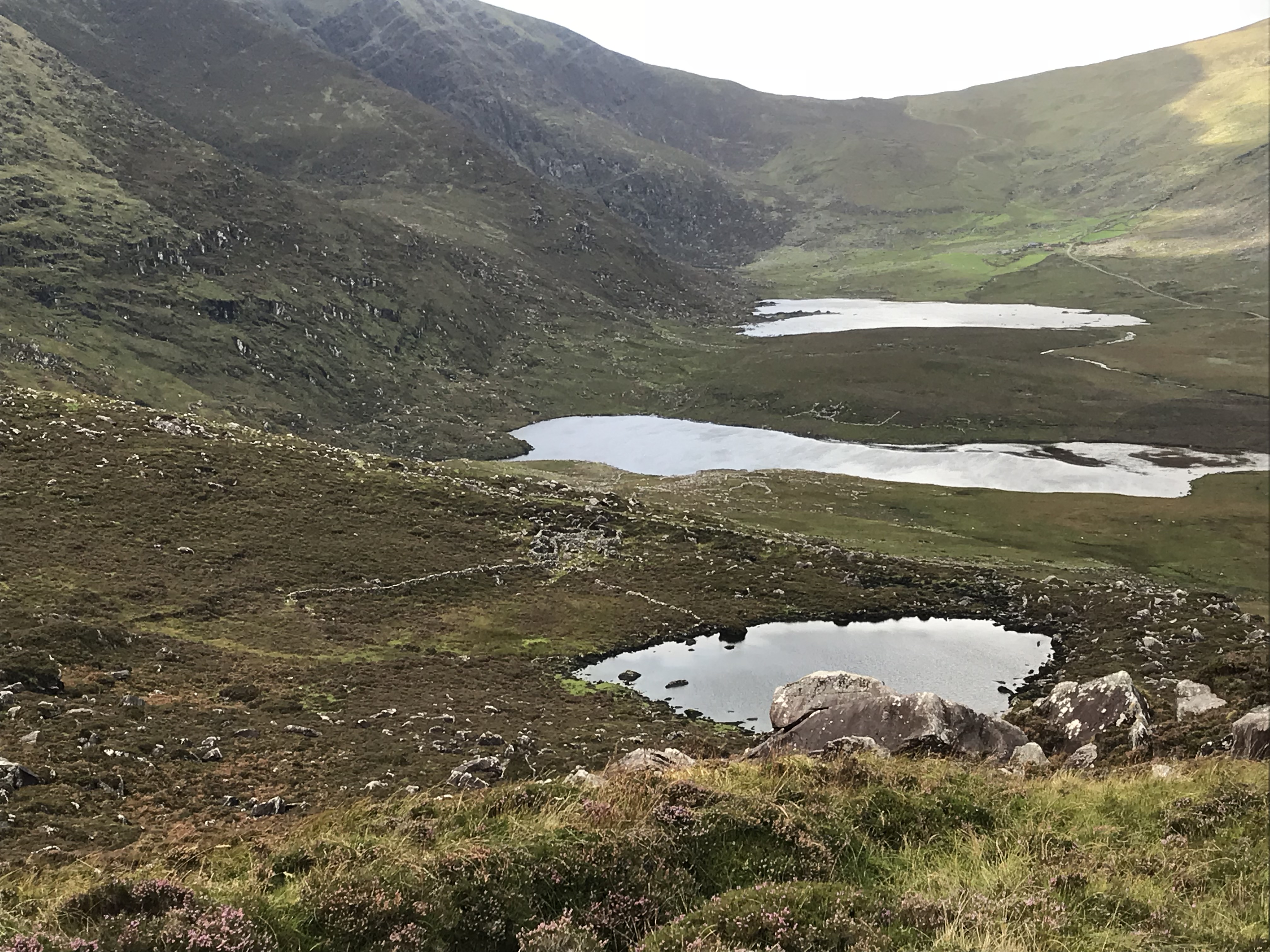
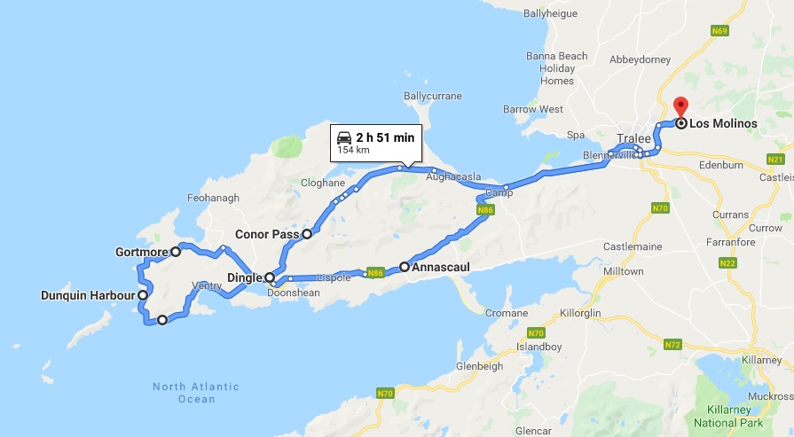
I was quite looking forward to today’s drive as many tourists reported that the Dingle Peninsula was far prettier than the famous Ring of Kerry. The weather was iffy at the start but it turned out to be a glorious day. Lots of green farm lands to start, then bleaker scrub as I drove up and over and down to Dingle.Quaint harbour near Dingle. Dingle is a pretty but touristy little town, unfortunately no photos survive from my visit. I did try the famous $7 Murhpy’s ice cream on my return stop! The prettiest part of the Dingle Peninsula is really the 30 mile Slea Head Drive which is a loop around the far tip of the peninsula. An enterprising farmer has quite a good business selling entry to a well preserved collection of Beehive Huts ( clocháns) lcoated on his property. Dating back possibly to 2000 BC they were single family residences or storage huts, with enclosed pastures. There are many remains of stone forts and certain stone walls all over Ireland.Just wonderful scenery driving around the peninsula. As you can see, the road is often very narrow and as it’s just a touristy thing to do, it’s advised to drive in a clockwise direction to reduce the necessity of passing. At one point traffic was stopped for a good 15 minutes as 2 large lorries met the curving point of land pictured below, which was only wide enough for 1!More gorgeous scenery. This beach was also used in the filming of Star Wars – where the Millennium Falcon is ‘berthed’ underwater… Great views from the tip looking north – you can tell this is the windy side of the peninsula! I returned to Tralee via the renowned Conor Pass, Ireland’s highest mountain pass. At the summit one can see Dingle Bay to the south (above) and Brandon and Tralee Bays can be seen to the north. Just below the Pass is a bleak valley filled with ancient stone walls and old stone rings. A miserable place to live, maybe the climate was better in ancient times?