Another view of my walk. Luckily I found accommodation enroutein all places but one so won’t have to do any of the tangents listed
Day 2: Burgh > Bowness-on-Solway, 8.9 miles
I took advantage of the dry morning and called for a cab at 7:30am to take me back to Burgh to walk west (backwards) to Bowness, the start of the Path.
13th C. St. Michael’s church. The defensive tower was built largely withHadrian Wall stone in the 1300’s asfortification during the Anglo-Scottish border wars
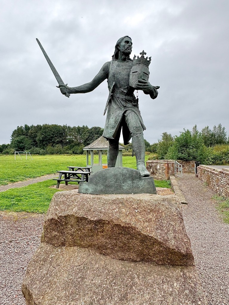
King Edward 1, ‘Hammer of the Scot’s’, died in battle here against Robert the Bruce in 1307
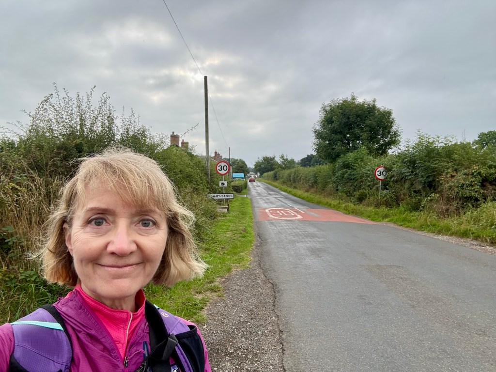
After leaving Burgh it was just mile upon mile of road
2.5 miles across the marsh, mostly on the raised old railway line on the left, but also on the road
Drumburgh Castle, built on the site of a Hadrian Wall tower, using wall stones
More road, and HWP walkers!
The last few miles along the Solway Firth, which separates Scotland from England here on the West Coast. It’s tidal, shallow, and can be crossed on foot with local knowledge so it kept the Roman guards on their toes looking for marauding Scots!
Bowness-on-Solway ahead
“Good luck go with you” says the starting sign at the Path Pavilion
Diorama of Fort Maia, the 2nd largest fort on the Wall was here in Bowness
Not really an exciting day but it was pleasant walking in perfect conditions so I’m happy. The bus ride back was especially scenic as it went for miles and miles along the coast past Bowness before turning back to Carlisle so I’ve gotten my fill of the marshes and am eager to start seeing some of the Wall! I also picked up some clunky, big, waterproof shoes so I’ll be prepared for the deluges coming this week 🙂